

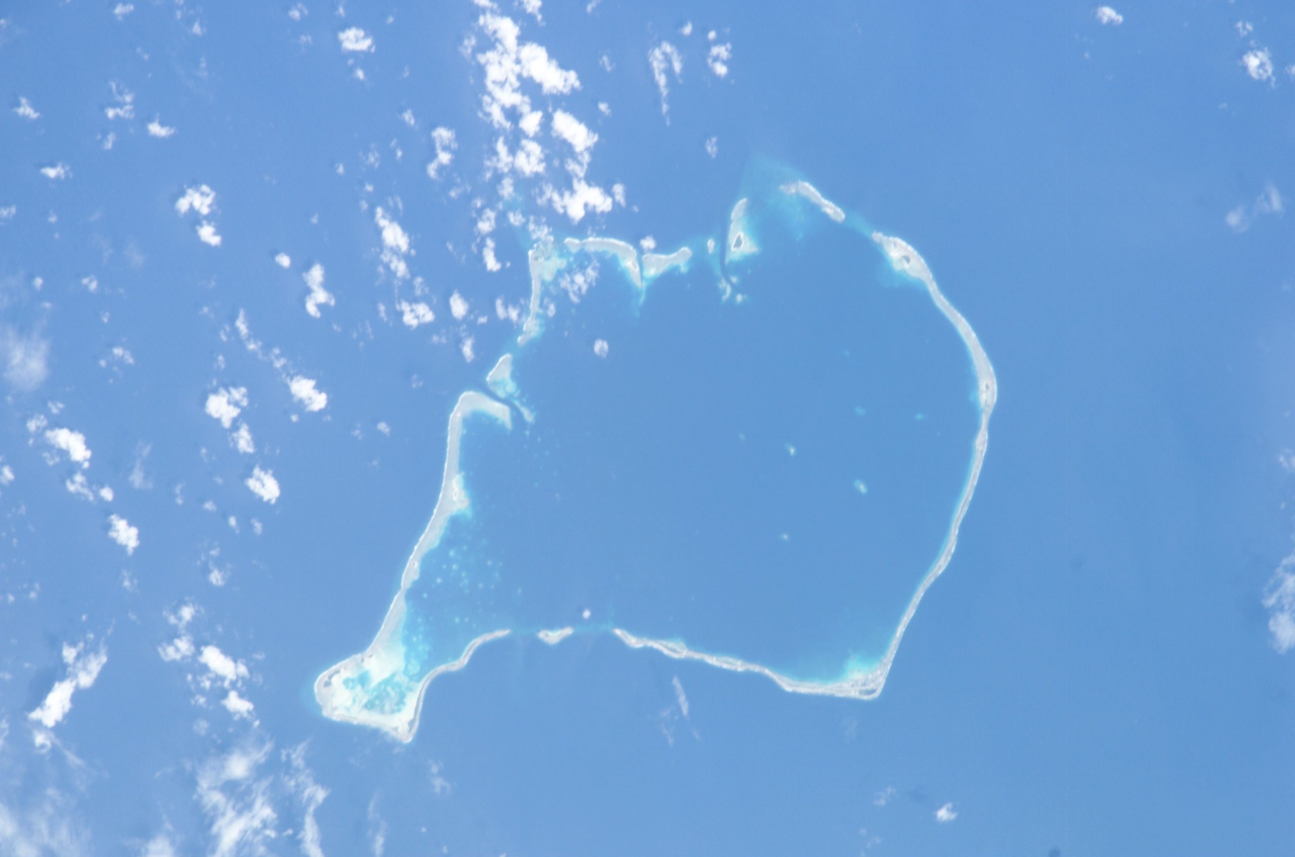
A shoreline can change beyond the timescale of a single planning decision. Across islands, seeing that pattern consistently is difficult. A free Pacific dashboard is bringing a longer view into reach for people making decisions about settlements, infrastructure and coastal environments.
The Pacific Community described Digital Earth Pacific’s Coastline Change Dashboard in a 12 November update. It brings together 22 years of satellite observations across 34,000 kilometres of Pacific shoreline, showing places where coastlines have retreated or grown.
The organization presents the tool as a resource to be combined with community knowledge. That distinction matters: a regional view can identify questions for closer examination without replacing the local understanding needed to interpret what is happening at a particular site.
For a planner, the useful next step may be to compare observed change with the location of a road, homes or a coastal habitat. A map does not itself choose the response. Decisions still require consideration of people’s needs, costs and the consequences of different options.
The dashboard’s availability is therefore a development resource rather than proof that a specific coast-protection policy has succeeded. Its value can be assessed through how institutions use the evidence and explain decisions to affected communities. The Pacific Community’s account establishes the tool’s geographic reach and purpose; site-specific engineering or land-use conclusions require further investigation.
Photo: NASA/Johnson Space Center, ISS006-E-05840 / Wikimedia Commons, Public domain (US government)

